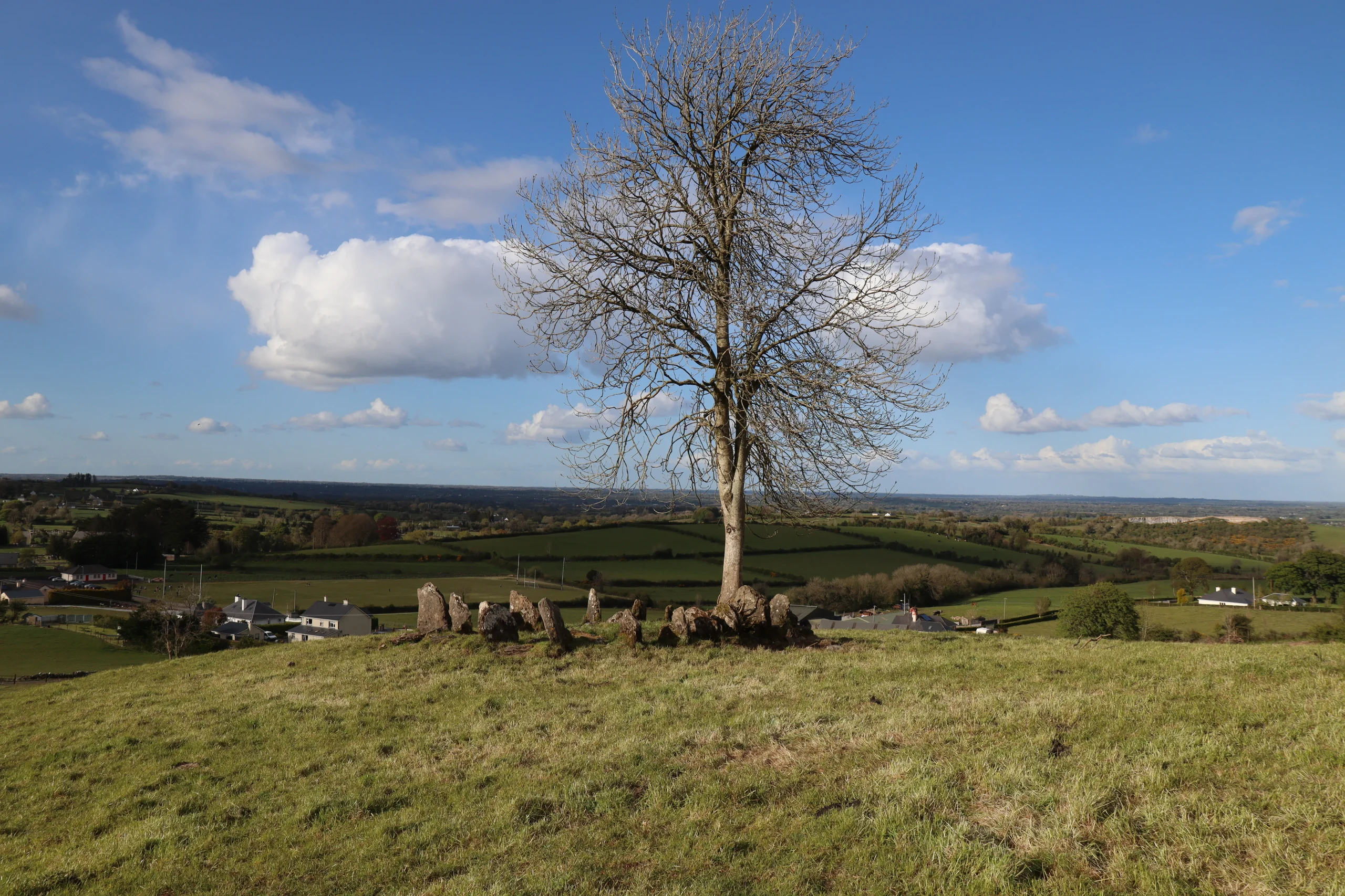
Cartron South
Cartron South in Irish “An Cartrún Theas” meaning quarter of land south. In the Electoral division of Marblehill it is 70.48 acres or 28.52 hectares in size.
Cartron South borders Ballycorban, Ballynakill, Knockadrum, Knockdrummore and Loughpark.
What we recorded
- Placenames
- 4
- 4 field
By type
Map
Placenames
| Name | Type | Notes |
|---|---|---|
| Johnny Callanan’s | field | Called this because it was owned by Johnny Callanan, it may have another name. |
| Blackton’s | field | Called this because it was owned by Blackton’s, it may have another name. |
| Halloran’s | field | Called this because it was owned by Paddy Halloran, it may have another name. |
| Hooban’s | field | Called this because it was owned by Hooban’s, it may have another name. |
Population
In the 1841 census there were 11 people and 1 house and there were no returns for the 1851 census. The 1840 map shows 2 houses or outbuildings. In the 1847 -64 Griffith’s Valuation there was no house and 1 landholder. In the 1901 census there was 1 residence and 9 inhabitants and in the 1911 census there was 1 residence and 6 inhabitants.
Land and Household Records
Landholders and heads of household recorded in the Tithe Applotment Books, Griffith’s Valuation, and the 1901, 1911 and 1926 censuses.
Tithe Applotment Books, 1834
Not yet compiled.
Griffith’s Valuation, 1856
Not yet compiled.
1901 census
Not yet compiled.
1911 census
Not yet compiled.
1926 census
- Peter Blake Burke
About the Townland
There is a ringfort situated in the south of the townland and towards the centre on an impressive elevated site is a monument classified as a radial stone cairn, reputed to be the only one in Co. Galway. These cairns found mainly in Cork and Kerry are rare and are thought to date from the Bronze Age.