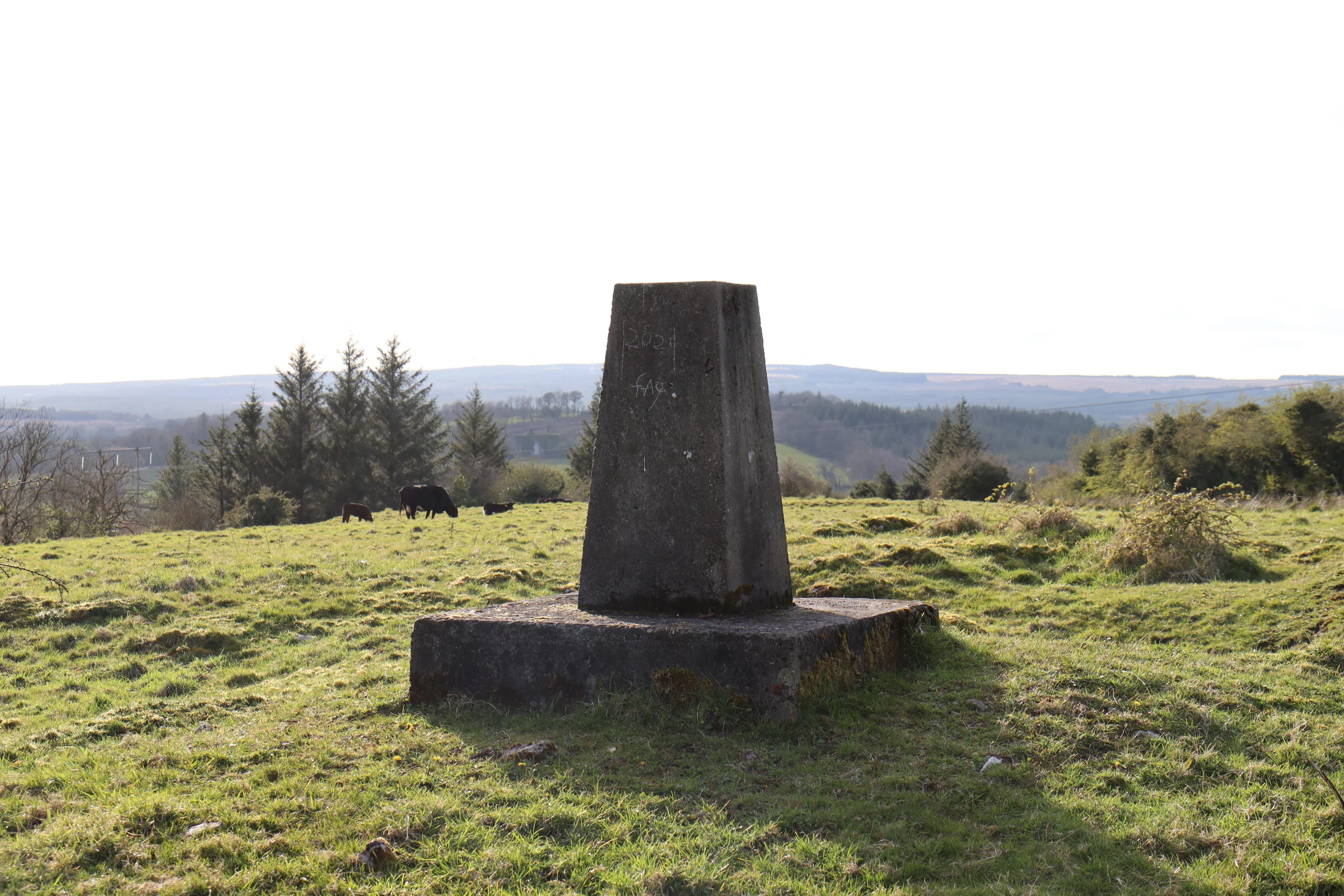
Knockdrummore
Knockdrummore in Irish “Cnoc Droma Móir” meaning big ridge hill or hill of the great ridge. In the Electoral division of Marblehill it is 54.05 acres or 21.87 hectares in size.
Knockdrummore borders Ballynakill, Carrowroe, Cartron South, Clooneen, Loughpark, Marblehill and Rosseeshal.
What we recorded
- Placenames
- 2 (0 Irish-origin)
- 1 wood
- 1 hill or hills
By type
Map
Placenames
| Name | Type | Notes |
|---|---|---|
| Hagueny’s Wood | wood | This is now a field but a wood was here before. |
| Terry Hill | hill or hills | Also “Knockdrummore Hill”. |
Population
In the 1841 census there were 16 people and 3 houses there and in the 1851 census there were 18 people and 2 houses. The 1840 map shows 3 houses or outbuildings a substantial police barracks. In the 1847 -64 Griffith’s Valuation there was no houses, 2 landholders and a Police Barracks now known as Cartron House. There are no returns for the 1901 and 1911 census.
Land and Household Records
Landholders and heads of household recorded in the Tithe Applotment Books, Griffith’s Valuation, and the 1901, 1911 and 1926 censuses.
Tithe Applotment Books, 1834
Not yet compiled.
Griffith’s Valuation, 1856
Not yet compiled.
1901 census
Not yet compiled.
1911 census
Not yet compiled.
1926 census
No returns.
About the Townland
In the south of the townland there is a ringfort and an area known as Terry Hill possibly connected with an agrarian revolt conducted by a group known as the ‘Terry Alts’ 1829-31.