
Ballycorban
Ballycorban in Irish “Baile Uí Chorbáin” meaning O Corban’s townland. In the Electoral division of Marblehill it is 119.32 acres or 48.29 hectares in size.
Ballycorban borders Cartron South, Knockadrum, Lecarrow North, Lecarrow South, Loughpark and Tulla.
What we recorded
- Placenames
- 7
- 6 field
- 1 well
- Houses
- 1
By type
Map
Placenames
| Name | Type | Notes |
|---|---|---|
| The Well Fields | field | These fields around the well are called “The Well Fields”. |
| Well | well | |
| The Lawn Field | field | |
| The Small Orchard | field | |
| McCuaig’s Field | field | |
| The Big Field | field | |
| The Orchard | field |
Houses
| Name | Notes |
|---|---|
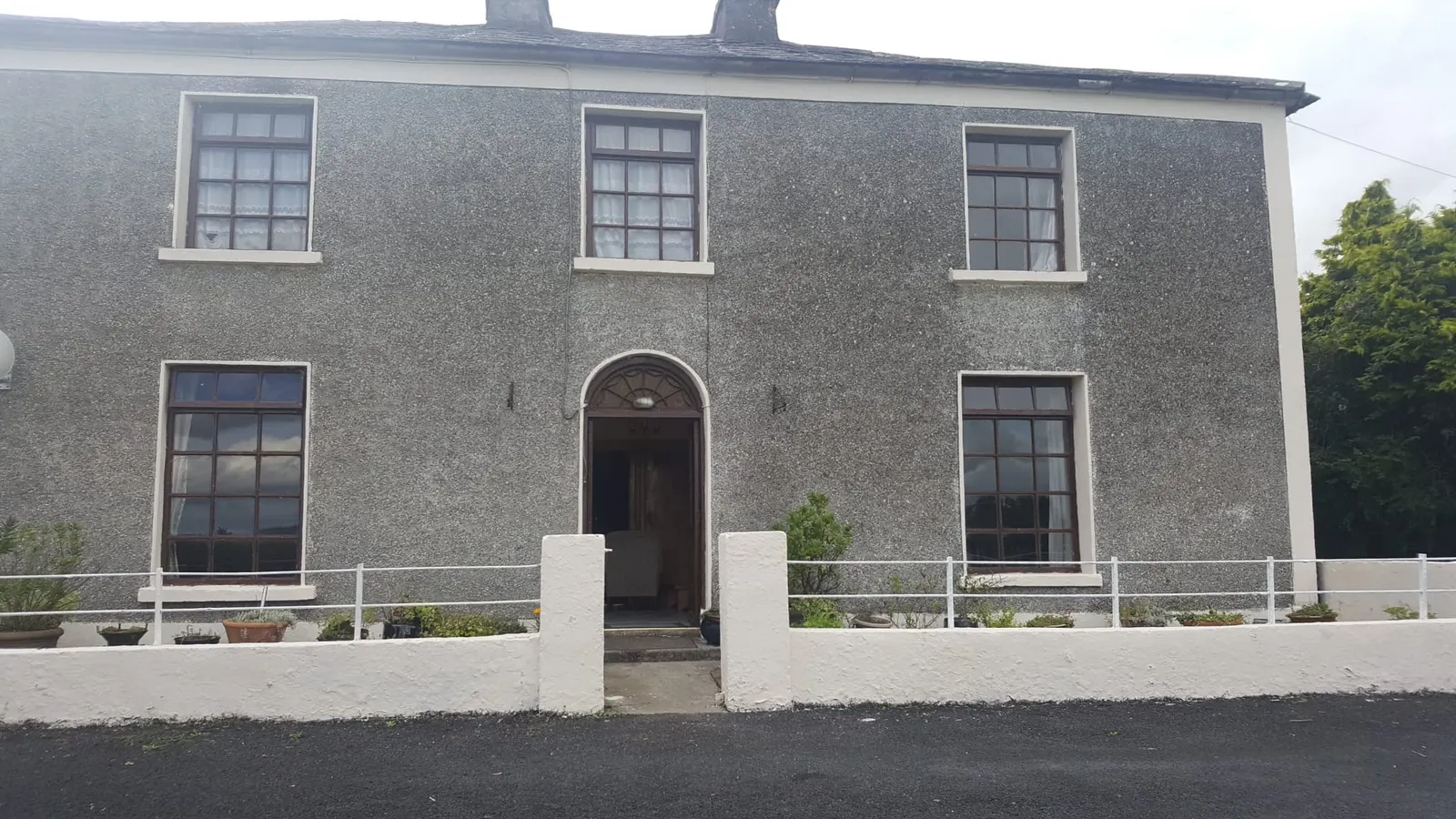
| Ballycorban House |
Population
In the 1841 census there were 27 people and 3 houses and in the 1851 census there were 18 people and 2 houses. The 1840 map indicated 6 houses or outbuildings. In the 1847-64 Griffith’s Valuation there was 1 house and 1 landholder. In the 1901 census there was 1 residence and 5 inhabitants and in 1911 there was 1 residence and 7 inhabitants.
Land and Household Records
Landholders and heads of household recorded in the Tithe Applotment Books, Griffith’s Valuation, and the 1901, 1911 and 1926 censuses.
Tithe Applotment Books, 1834
Not yet compiled.
Griffith’s Valuation, 1856
Not yet compiled.
1901 census
Not yet compiled.
1911 census
Not yet compiled.
1926 census
- Matthew James Whyte
About the Townland
Ballycorban House is recorded on the Landed Estates Database as being leased in 1856 by Matthew White from the Burke of Marble Hill estate, and is still occupied today.
There are two ringforts, one in the south and one in the west of the townland.