Cuilleendaeagh
Cuilleendaeagh in Irish “Coillín Dá Fhiach” meaning little wood of the two ravens is in the Electoral division of Ballynagar. It is 81.81 acres or 33.11 hectares in size.
Cuilleendaeagh borders Ballynagar, Cregg, Garraunphaudeen, Gortnakilla, Knockadrum and Lecarrow North.
What we recorded
- Placenames
- 1 (0 Irish-origin)
- 1 graveyard, cemetary, burial ground
- Houses
- 1
- Buildings
- 1
By type
Map
Placenames
| Name | Type | Notes |
|---|---|---|
| Mullins’ Grotto | graveyard, cemetary, burial ground |
Houses
| Name | Notes |
|---|---|
| McNamara’s House | Then Rourke’s. |
Buildings
| Name | Notes |
|---|---|
| Cunnane’s Forge | Originally it was Connaire’s house, they moved from here to Ballinlough. |
Population
The 1841 census show 41 people and 6 houses. In the 1851 census there were 21 people and 3 houses. The 1840 map shows 7 houses or outbuildings. In the 1847-64 Griffith’s Valuation there were 3 houses, 2 landholders and a graveyard. In the 1901 census there was 1 residence and 3 inhabitants and in the 1911 census there was 1 residence and 6 inhabitants.
Land and Household Records
Landholders and heads of household recorded in the Tithe Applotment Books, Griffith’s Valuation, and the 1901, 1911 and 1926 censuses.
Tithe Applotment Books, 1834
Not yet compiled.
Griffith’s Valuation, 1856
Not yet compiled.
1901 census
Not yet compiled.
1911 census
Not yet compiled.
1926 census
- Denis McNamara
- John Connaire
About the Townland
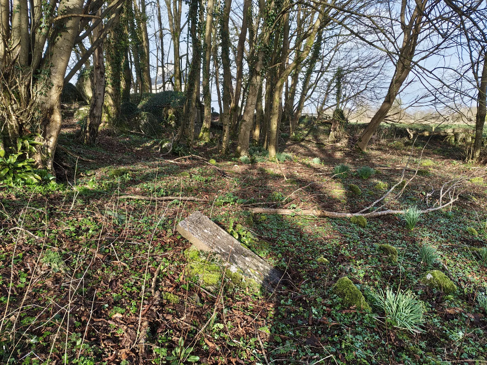
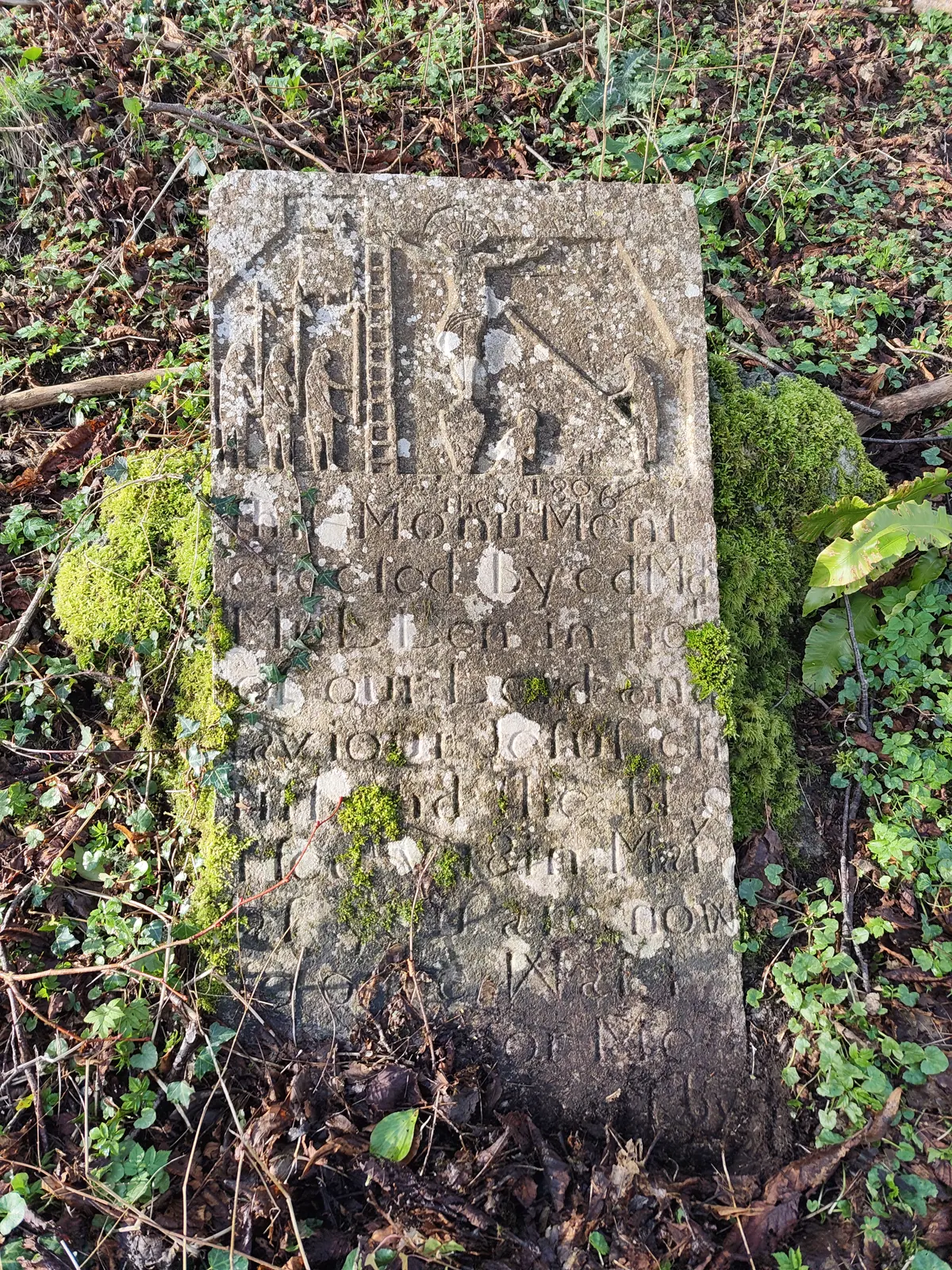
A unique feature of this townland is an old graveyard in the south, historically referred to as Ballynagar graveyard. There are historical accounts of a man called Mullins living in a dwelling in the graveyard (marked as “Hermitage” on the historic Ordnance Survey maps), living a life of solitude, penitence and prayer. We recorded the name “Mullins’ Grotto” for this graveyard.