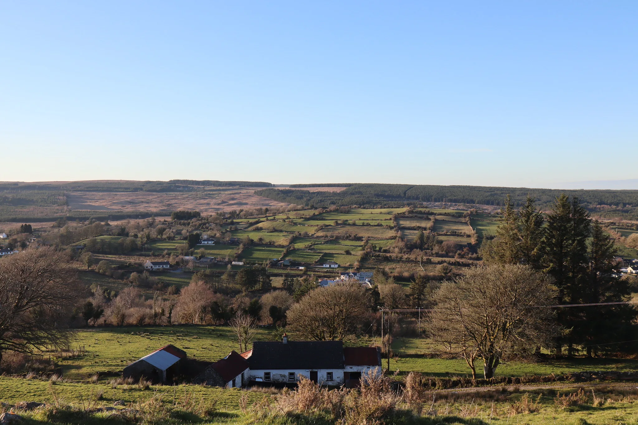
Kylenagappa
Kylenagappa in Irish “Coill na gCeapach” meaning the wood of the tillage plot is 159.55 acres or 64.57 hectares in size and is in the Electoral division of Marblehill.
Kylenagappa borders Allykeolaun, Carrowroe, Drum, Drumkeary West and Knockmoyle East.
What we recorded
- Placenames
- 4 (0 Irish-origin)
- 3 field
- 1 tree or bush
- Houses
- 4
By type
Map
Placenames
| Name | Type | Notes |
|---|---|---|
| The Kitchen Garden | field | |
| The Cradle Field | field | |
| The Two Trees/The Twin Ash | tree or bush | These two big ash trees are a known landmark. Said to be the edge of a fort. |
| The Brand Iron Field | field |
Houses
| Name | Notes |
|---|---|
| Fox’s House | |
| Riordan’s House | Riordan’s from the shop in Drum townland came from here originally. |
| Larkin’s House | Then Egan’s, then Comer’s. John Joe Comer was the last to live here. |
| Farrell’s House |
Population
In the 1841 census there were 65 people and 10 houses and in the 1851 census the population had fallen to 28 people and 5 houses. The landlords of Kylenagappa were the Burkes of Marble Hill.
Land and Household Records
Landholders and heads of household recorded in the Tithe Applotment Books, Griffith’s Valuation, and the 1901, 1911 and 1926 censuses.
Tithe Applotment Books, 1834
Not yet compiled.
Griffith’s Valuation, 1856
Not yet compiled.
1901 census
Not yet compiled.
1911 census
Not yet compiled.
1926 census
- Patrick Egan
- Timothy Farrell
- Denis Riordan
- Joseph Shiel
About the Townland
The townland lies on high hilly ground with good views of the surrounding countryside.