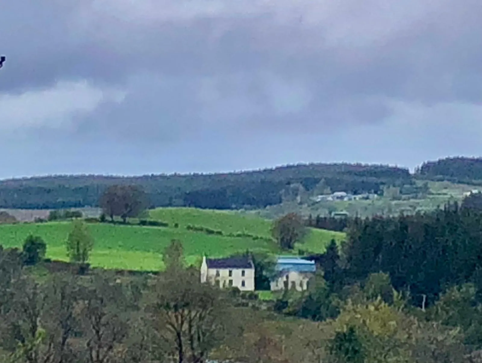
Allykeolaun
Allykeolaun in Irish “Áill Uí Cheoláin” meaning O’Keolan’s cliff according to John O’Donovan is 317.37 acres or 128.43 hectares in size and is in the Electoral division of Marblehill.
Allykeolaun borders Drum, Drumkeary West, Knockaundarragh and Kylenagappa.
What we recorded
- Placenames
- 19 (2 Irish-origin)
- 16 field
- 2 hill or hills
- 1 fort
- Houses
- 8
- Buildings
- 1
By type
Map
Placenames
| Name | Type | Notes |
|---|---|---|
| Cnocán na Brón | hill or hills | Pronounced “Cruckawnabrone”. |
| Light Hill | hill or hills | |
| Riascín | field | Pronounced “Reeshkeen”. |
| The Quarry Field | field | There was a quarry in this field. The stone used to build Drimkeary bridge came out of it. |
| Hay Socks | field | |
| Fairy Fort | fort | |
| Rushy Socks | field | |
| The Hill | field | |
| Socks’ | field | |
| The Long Garden | field | |
| The Orchard | field | |
| Across From Rourkes | field | |
| The Cabbage Garden | field | |
| The Garden at the Road | field | |
| The Callow | field | |
| The Hurling Field | field | |
| The Well Field | field | |
| Above the River | field | |
| The Lisheen Field | field |
Houses
| Name | Notes |
|---|---|
| Catherine Donohoe’s House | Catherine Donohoe was known as “The Bird”. |
| Farrell’s House | |
| Feeney’s House | Unsure of the exact location but it was somewhere around Farrell’s. |
| Socks’ House | |
| Gurley’s House | |
| Egan’s House | Then Eddie Shiel. |
| Burke’s House | |
| Moran’s House |
Buildings
| Name | Notes |
|---|---|
| Sawmill |
Population
In the 1841 census there were 57 people and 7 houses and in the 1851 census, after the famine, the population had fallen to 41 people and 6 houses.
Land and Household Records
Landholders and heads of household recorded in the Tithe Applotment Books, Griffith’s Valuation, and the 1901, 1911 and 1926 censuses.
Tithe Applotment Books, 1834
Not yet compiled.
Griffith’s Valuation, 1856
Not yet compiled.
1901 census
Not yet compiled.
1911 census
Not yet compiled.
1926 census
- Kate Burke
- James Shields
- Thomas Shiel
- John Farrell
- Martin Gurley
- Michael Moran
About the Townland
Drim National School is in Allykeolaun. It was established around 1915, when the local people built the school house and paid the teacher’s salary, and the site was donated by Mr Josie Sheil.
Two ringforts are recorded in the townland, one of them known as the Fairy Fort.