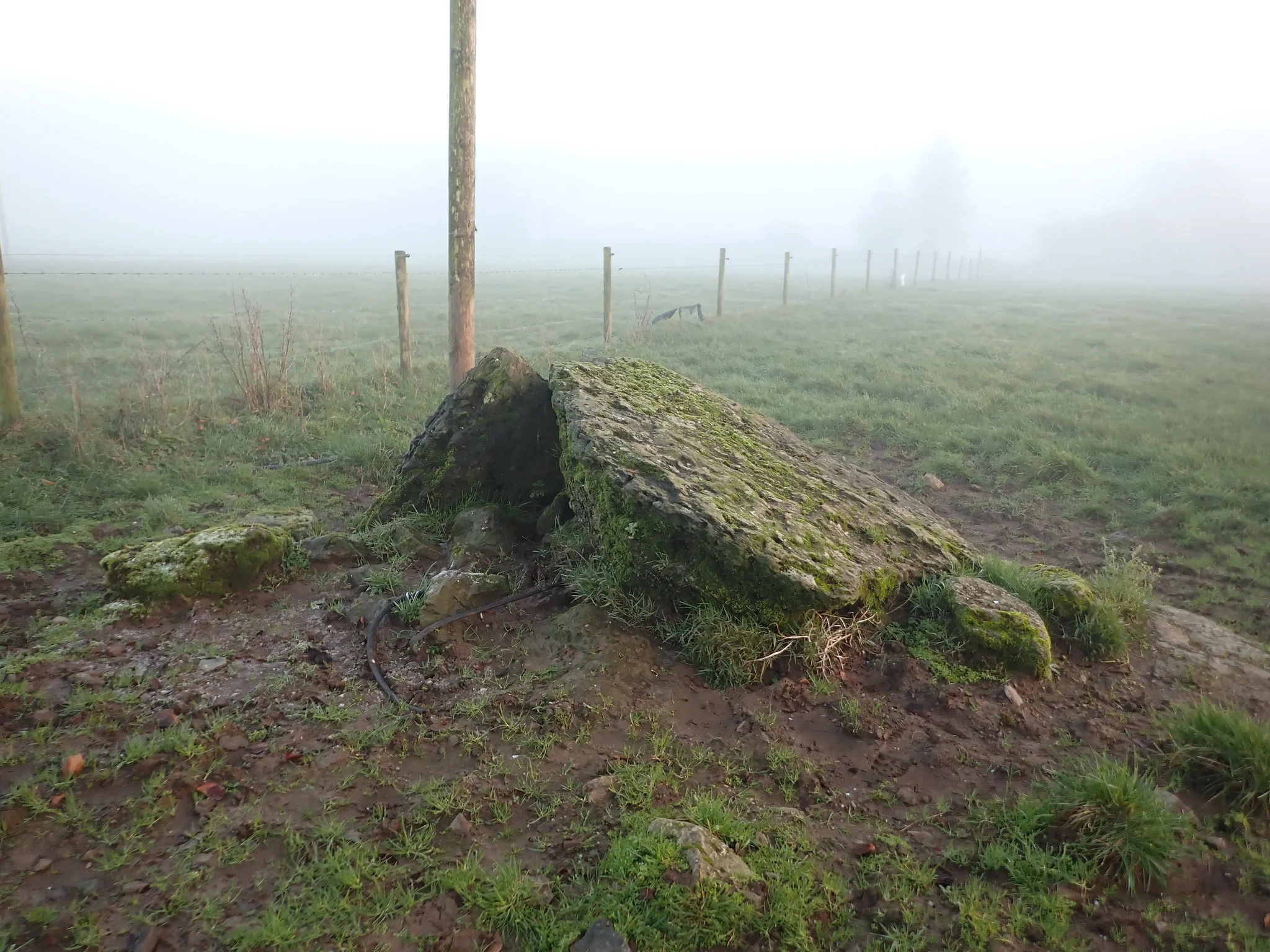
Knockroe
Knockroe in Irish “An Cnoc Rua” meaning the red hill. In the Electoral division of Drumkeary it is 44.49 acres or 18 hectares in size.
Knockroe borders Ballynakill, Burroge, Clooneen, Drumkeary East and Liss.
What we recorded
- Placenames
- 3 (1 Irish-origin)
- 1 field
- 1 standing stone or standing stones
- 1 man-made feature
- Houses
- 2
By type
Map
Placenames
| Name | Type | Notes |
|---|---|---|
| The Long Stone Field | field | |
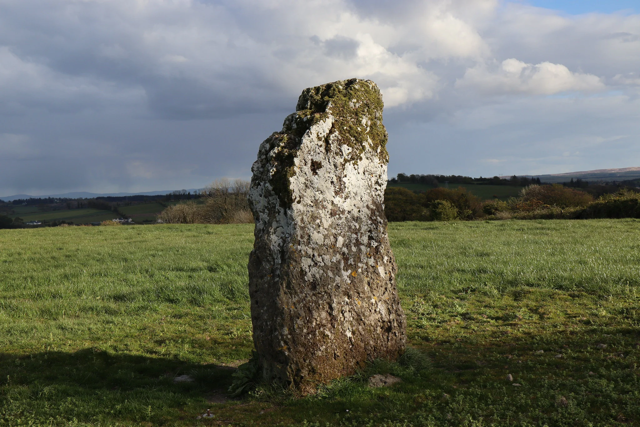
| The Long Stone | standing stone or standing stones | The standing stone recorded as “Carrickbreaga”. |
| Labbadiarmada | man-made feature |
Houses
| Name | Notes |
|---|---|
| Duffy’s House | |
| Moran’s House |
Population
In the 1841 census there were 33 people and 4 houses in the townland and in the 1851 census it was down to 19 people and 3 houses. The 1840 map indicated there were 8 houses or outbuildings. The 1847-64 Griffith’s Valuation had 2 houses and 2 landholders in the townland. In the 1901 census there were 2 residences and 4 inhabitants and in the 1911 census there were 2 residences and 12 inhabitants.
Land and Household Records
Landholders and heads of household recorded in the Tithe Applotment Books, Griffith’s Valuation, and the 1901, 1911 and 1926 censuses.
Tithe Applotment Books, 1834
Not yet compiled.
Griffith’s Valuation, 1856
Not yet compiled.
1901 census
Not yet compiled.
1911 census
Not yet compiled.
1926 census
- Patrick Moran
- Hanraoi E Ó Mainnín
About the Townland
This townland has two renowned archeological monuments. In the north west there is the site of a standing stone recorded as Carrickbreaga in Irish “Carraig Bréaga” meaning the “stone of the lies” or “false rock” because of its resemblance to a human form when viewed from a distance especially at dusk time or in the moonlight.
In the centre of the townland is an unclassified megalithic tomb recorded as Leaba Diarmuida or Dermot’s bed.