Cullenagh
Cullenagh in Irish “Cuileannach” meaning holly land is 664.62 acres or 268.96 hectares in size and is in the Electoral division of Marblehill.
Cullenagh borders Drum, Drumkeary West, Knockaundarragh, Reynabrone, Tooreen North and Tooreen South.
What we recorded
- Placenames
- 27 (6 Irish-origin)
- 22 field
- 1 mass rock
- 1 bridge
- 1 crossroads
- 1 bog
- 1 road
- Houses
- 12
- Buildings
- 2
By type
Map
Placenames
| Name | Type | Notes |
|---|---|---|
| The Mass Stone | mass rock | Location not exact. |
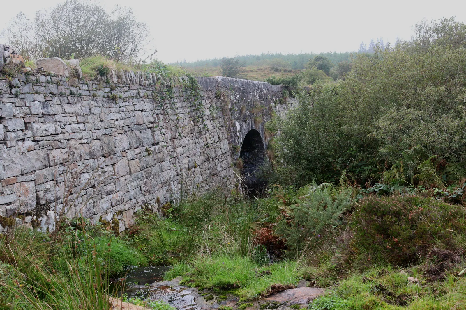
| Drummin Bridge | bridge | Also Cullenagh Bridge. |
| Cullenagh Cross | crossroads | Pronounced “Cuillena”. |
| The Bog | bog | |
| Stony Porfree | field | |
| Grán Gráinneach | field | |
| Under the Oul’ Door | field | The area around Madden’s old house. |
| The Meadow | field | |
| Small Porfree | field | |
| Ferny Porfree | field | |
| The Hill | field | |
| New Porfree | field | |
| Coarse Meadow | field | |
| New Garden | field | |
| Spain’s Road | road | |
| The Two Sticks | field | |
| The Ridge Field | field | |
| The Beatin | field | Pronounced “The Baytin”. |
| The Goat Cabbin Field | field | |
| The Burnt Hill | field | |
| The Hay Haggart | field | |
| The Muin | field | |
| The Bogs | field | |
| The Hill | field | |
| The Goat’s Field | field | |
| The Bogs | field | |
| The Bogs | field |
Houses
| Name | Notes |
|---|---|
| Eoin Sheanan’s House | |
| Jack Flynn’s House | |
| Harney’s House | |
| Madden’s House | The oldest of the 3 Madden’s houses here. |
| Jordan’s House | |
| Padraig Sheanan’s House | Known as “Crooshstoff” |
| Mike Madden’s House | |
| Barney Sheanan’s House | |
| Madden’s House | |
| Rourke’s House | |
| Rourke’s House | |
| Anne Halloran’s House |
Buildings
| Name | Notes |
|---|---|
| The Carpenter Rourke’s Shop | |
| Tom Sheanan’s Forge |
Population
In the 1841 census there were 81 people, 16 inhabited and 1 uninhabited house, and in the 1851 census, after the famine, the population had fallen to 69 people and 13 houses.
Land and Household Records
Landholders and heads of household recorded in the Tithe Applotment Books, Griffith’s Valuation, and the 1901, 1911 and 1926 censuses.
Tithe Applotment Books, 1834
Not yet compiled.
Griffith’s Valuation, 1856
Not yet compiled.
1901 census
Not yet compiled.
1911 census
Not yet compiled.
1926 census
- Anne Halloran
- John Rourke
- Martin Rourke
- Bernard Shaenon
- Thomas Sheanon
- Michael Leahy
- Patrick Sheanon
- Martin Madden
- John Rourke
- Patrick Flynn
About the Townland
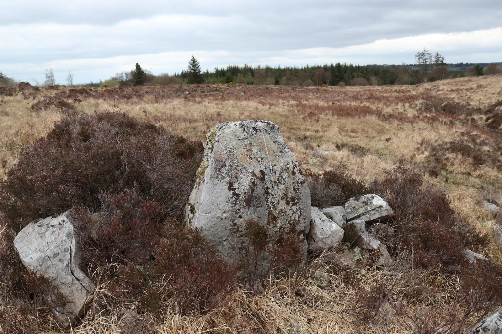
A possible standing stone, a large upright slab of limestone about 1.5 metres high, is recorded in the bogland in the south of the townland.