
Carrowcrin
Carrowcrin in Irish “An Cheathrú Chruinn” — combining ceathrú (“quarter”) and cruinn (“exact” or “round”) to mean a quarterland — is 118.22 acres or 47.84 hectares in size and is in the Electoral division of Drumkeary. Over time, archival records captured various phonetic English spellings of this original Irish name.
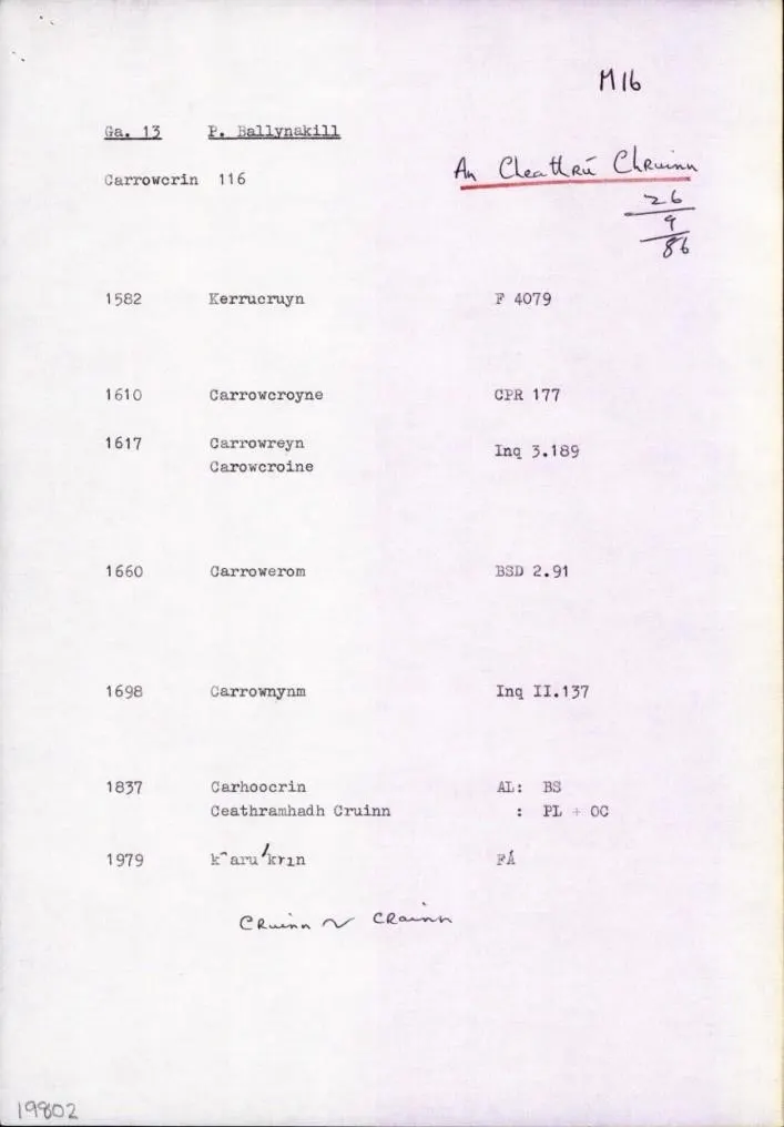
Carrowcrin borders Baunyknav, Curragh, Garraun, Lisheeny, Tomany More and Tonroe.
What we recorded
- Placenames
- 2 (1 Irish-origin)
- 2 field
- Houses
- 9
By type
Map
Placenames
| Name | Type | Notes |
|---|---|---|
| Clonbarry | field | |
| The Orchard | field |
Houses
| Name | Notes |
|---|---|
| Egan’s House | |
| Conway’s House | |
| Sonny Conway’s House | |
| Nevin’s House | There was a shop here. |
| Ruin of Bishop’s House? | The name of the people that lived in this house wasn’t known but they did remember hearing that a Bishop came from it. |
| Hogan’s House | |
| Hagueny’s House | |
| Hagueny’s House | |
| Brehony’s House | Then McDonagh’s. |
Population
In the 1841 census there were 61 people and 10 houses and in the 1851 census, after the famine, the population had fallen to 50 people and 7 houses.
Land and Household Records, 1834–1926
Landholders and heads of household recorded in the Tithe Applotment Books, Griffith’s Valuation, and the 1901, 1911 and 1926 censuses.
Tithe Applotment Books, 1834
- Edw. Fallon
- John Curley
- John Conway
- Pat Fahy
- John Nevin
- Denis Grogan
- Widow Kennimore?
- John Heagney
- Thos Heagney
- Peter Fallon
- Thomas Heagney
Griffith’s Valuation, 1856
- John Conway
- Martin Conway
- Patrick Kirwan
- Thomas Hayden
- John Hayden
- Patrick Breheny
- John Nevin
1901 census
- Mary Egan
- John Nevin
- Patrick Heagney
- John Conway
- Catherine Hogan
- Cornelius McDonagh
- Mary Heagney
1911 census
- Catherine Heagney
- Patrick Heagney
- John Nevin
- Cornelius McDonagh
- Catherine Hogan
- John Conway
- Edward Egan
1926 census
- Edward Shiel
- John Conway
- John Nevin
- Patrick Hogan
- Catherine Heagney
- Patrick Heagney
- Con McDonagh
About the Townland
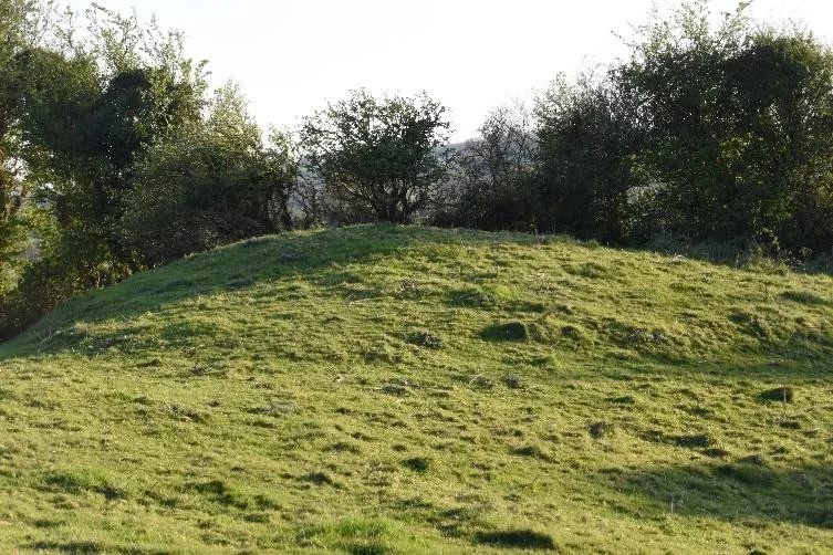
The village of Carrowcrin rests at the foot of Knockauntollis hill, where historical relics of a quarry and a lime kiln are still visible on its slopes. An unusual mound at the top of the hill, possibly a cairn, is evidence of early habitation and burial. On the south side of the road that bisects the townland is Cutaway Bog, once a lake; clay found beneath the bog was used to line lime kilns.
Further information on the customs and way of life in late 19th-century Carrowcrin is detailed in the memoir of Fr. Eugene Nevin, hosted on the Abbey and District Heritage website.